A. Marine Sciences
- Seafloor mapping and sampling, geomorphological studies and techno physics.
- Benthic habitat mapping for estimating species abundance, essential fish habitat, and ultimately conservation of sensitive or endangered areas.
- Shoreline analysis, including calculation of rate-of-change statistics from multiple shoreline positions to analyze historic shoreline change.
- Climate change, including measuring or simulating the potential impacts of sea level rise on shorelines and wetlands, impacts of storms due to increasing ocean temperatures, impacts to ecosystems due to increasing ocean acidification, and global energy transfer.
- Hazards, including the analysis of risk and potential loss of buildings and infrastructure due to hurricane winds, coastal floods, tsunamis, and near shore or onshore earthquakes.
- Mapping of fishery management plans, such as boundaries of Ground fish Essential Fish Habitat.
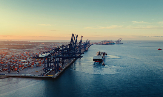
B. GIS For Port And Maritime Management
- Port Design, Infrastructure and Expansion Planning
- Environmental Management, Facility and Utility Management
- Property and Lease Management
- Security Operations
- Emergency Response and Management
- Port Operations and Intermodal Management
- Meteorological Monitoring
- Visualization and assessment of water depth
- Public Information