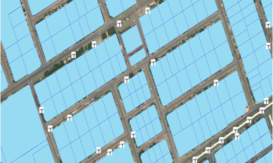
Digitization of 2D Vector Map for purpose of Urban Planning and Land development. Digitized the Land features (e.g. Buildings, Parcels, Road Centerline, Right-of-Ways, Green Land, Park, Electric and Light Poles, etc.). Used the reference of Google Maps to digitize the features described by the customer. The final product was delivered in ESRI format Shapefile.
2d Map Digitization For Urban Planning