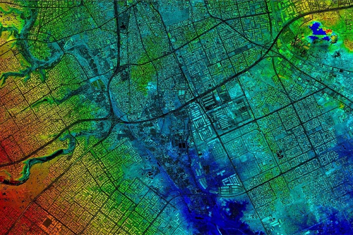
GRADISS is a leader in Geospatial industry and provides a lucrative solutions for Data Analysis, Visualization and Mapping, for Urban Planning & Smart Cities, Land-Property Information Mapping & Navigation, Environmental, Public Utilities & Renewable Energy, Forestry & Agriculture, Transportation, Landscaping & Lawn Care, Mining, Oil & Natural Gas, etc., which is important and helps in planning, designing development and implementation of Mapping and Data Visualization projects for various industry segments. GRADISS goal is to ensure clients get the highest possible level of quality and solutions for their projects and requirements at an affordable pricing and committed timeline, what they would pay for in-house or domestic services.
Geospatial Services
